We marked the launch of the NDC Marine Simulator on 21st September 2021 demonstrating how this new cutting-edge facility is set to transform decommissioning operations and energy transition projects for our industry partners in the North Sea and beyond.
Simulator Overview

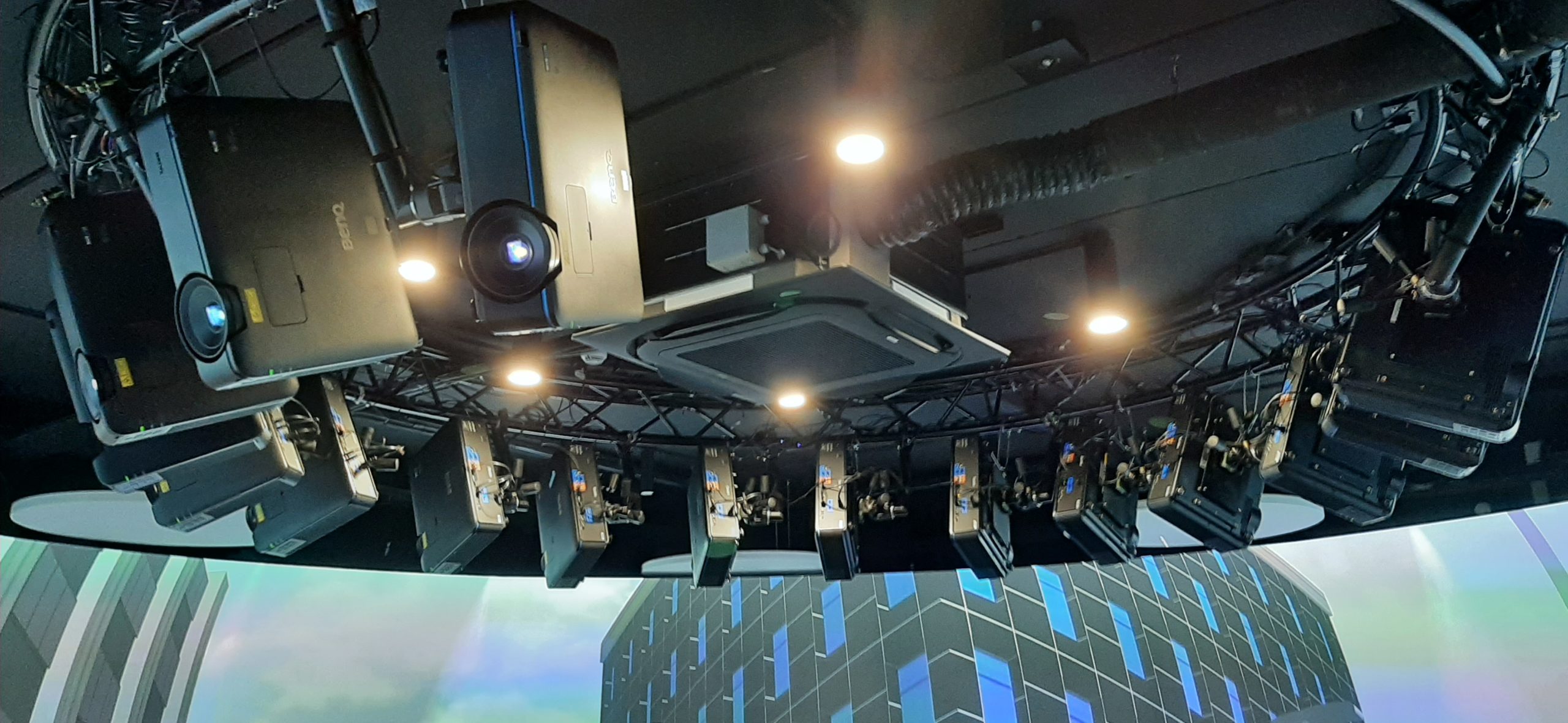
A walk-in 9m diameter, 300-degree visual immersive environment supplied by the Offshore Simulator Centre
- 16 projectors
- 22 servers
- 4 control stations
There are two capabilities within the simulator
- Marine simulation
- Smart Cities capability
The simulator is not tied to oil and gas decommissioning
We can look at:
- Offshore/floating wind installation or decommissioning
- Basin wide decision making using the smart cities capability
- Energy integration using the smart cities capability
Marine Simulation
The marine simulation capability provides the opportunity for:
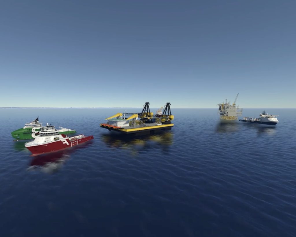
- Scenario planning of decommissioning programmes
- Trialling of new offshore technologies (not just decommissioning)
The marine simulation aspect provides the following capabilities:
- Control stations can be assigned to assign control any object/asset in the scene to one of the stations (chairs) for example ROVs, cranes, personnel, vessels etc.
- All simulations based on real time physics calculations
- Ability to create and modify simulation in runtime
- Ability to split screen into 4 different stations/objects
- All objects within scene have full effect from user-controlled environment, for example vessels are affected fully by waves, current, wind etc.
- Delivered with a library of ships, ROVs, cranes and objects (jackets, containers etc.)
- Ability to import CAD data to the simulator system.
Smart Cities Capability
The “smart cities” concept utilises the visualisation and modelling of data gathered either directly by instrumentation or other sources to better understand how systems interact for example how changes in traffic flow affect greenhouse gas emissions and particulates. It is then possible to make more informed decisions based on the modelling.
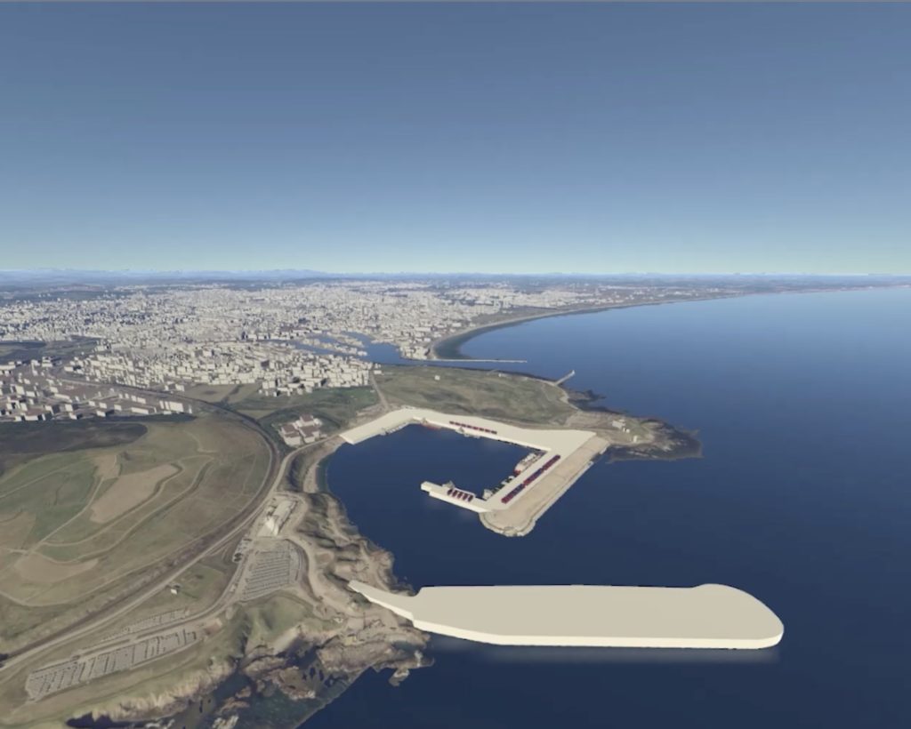
We intend to extend this concept into the marine environment for our “Smart Basin” project which aims to provide:
- Virtual model of the entire basin starting with an exemplar area, either east of Shetland or southern North Sea.
- Data visualisation to show the spatial distribution of a parameter – e.g. CO2 emissions, power usage, vessel traffic, available local renewable capacity etc.
- Modelling to better understand
- how interactions between operators e.g. campaigns and/or renewables could improve the efficiency of decommissioning
- opportunities for reuse and repurposing
- how optimal energy transition can be achieved
- Basin-wide decision making based on the modelling
Examples
The simulator is also being used to export 3D models of marine growth and superimpose them onto man-made structures located in the simulator library such as a floating wind anchor. Examples of the work being done in this area can be seen below.


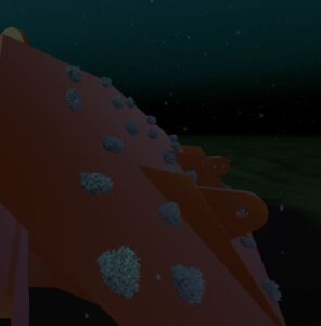
Anchor with marine growth
We would like to acknowledge OSC for its assistance in generating the videos from which the still images were taken